How 2 US, European Satellites Are Studying Hurricanes During El Niño
By NASA
Quick Summary
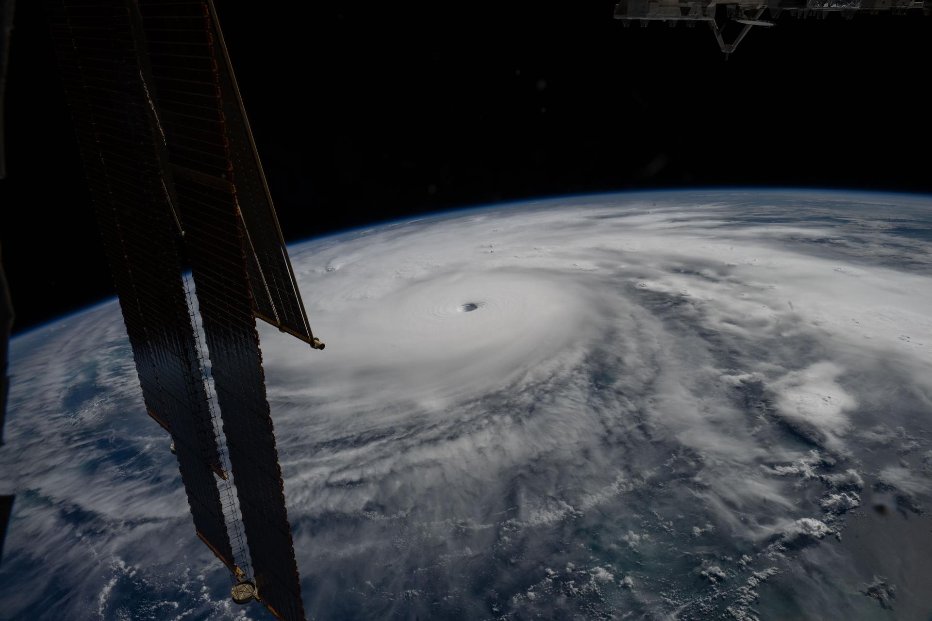
Last November, NASA and its European partners launched the Sentinel-6B satellite to improve hurricane forecasts, help protect infrastructure, and benefit commercial industries, including shipping. The satellite now is flying 30 seconds behind its predecessor, Sentinel-6 Michael Freilich. Both satellites are providing precise sea level height measurements during what oceanographers expect to be a historic El […]
Related Launch: Sentinel-6 Michael Freilich
The Sentinel-6 Michael Freilich and Sentinel-6B make up the Sentinel-6 mission, also known as Jason Continuity of Service (Jason-CS), which is a partnership between NASA, NOAA, ESA, and EUMETSAT. This mission continues the long-term global sea surface height data record begun by first Jason satellites in 1992. Named after former NASA Earth Science Division Director Michael Freilich, Sentinel-6 Michail Freilich will provide altimeter data necessary for ocean climate monitoring, ocean modelling and numerical ocean prediction, weather forecasting, marine meteorology, coastal altimetry and modelling. A secondary objective of the mission is to collect high-resolution vertical profiles of temperature, using the Global Navigation Satellite System (GNSS) Radio-Occultation sounding technique, to assess temperature changes in the troposphere and stratosphere and to support numerical weather prediction. Sentinel-6 Michael Freilich is to operate in a highly-inclined circular orbit at an altitude of 1336 km, with an operational mission lasting 5 years. Near-identical Sentinel-6B is planned to follow-up shortly after.
- Rocket
- Falcon 9 Block 5
- Pad
- Space Launch Complex 4E, Vandenberg SFB, CA, USA
- Status
- Launch Successful
- Date
- November 21, 2020
Source: NASA
Read full story at NASA